-
Monday, June 16, 1997
-
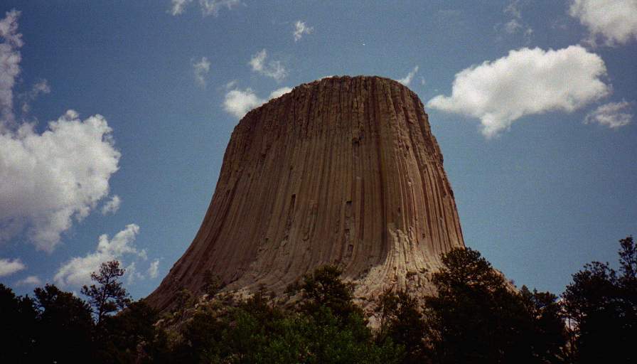
Black Hills National Forest to Sheridan, Wyoming

|
| Sheridan, Wyoming: | |||||||||||
|
|||||||||||
| Today's Travel: | |||||||||||||||||||
|
|||||||||||||||||||

| Trip Stats to Date: | |||||||||||||||||||||||||
|
|||||||||||||||||||||||||
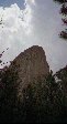
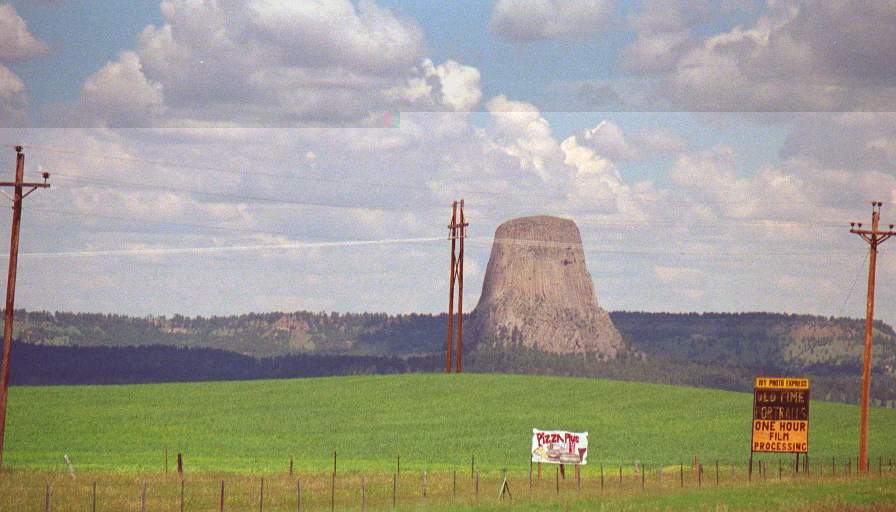
After leaving the tower I drove West on I90, found a cheap hotel (sever thunder storm warning and rain scared me from camping again).


