. OnHiatus.com > Journal 1 > Day Index > Journal Entry: June 22, 1997

Sunday, June 22, 1997
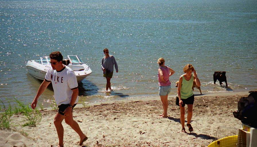
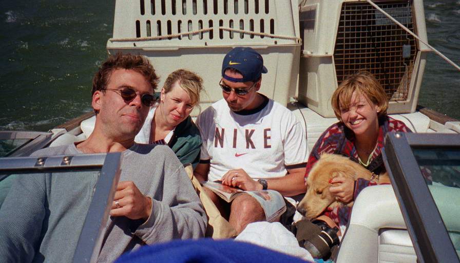
A Sandbar on the Columbia River to Bothell, Washington
US's FlagWA's Flag

Map
Bothell, Washington:
Latitude: 47° 47' 49" North
Longitude: 122° 13' 30" West
Altitude: 145 feet
From Seattle: 10 miles
Lodging: Friend / Family - Stacy

Map
Today's Travel:
Country: United States
Region: Washington
Route: I90, I405, SR527
Start: A Sandbar on the Columbia River
Stop 1. Cresant Bar
End:Bothell, Washington
Road Miles:188 miles
Linear:122 miles
Weather: Sunny / Rain

Available Photos:

The gang at the sand bar Columbia River Gorge, WA

The amphitheater, and packed boat Columbia River Gorge, WA

The crew (Tim, Amy, Brian, Chantel, and Barkely) homeward bound in the stern Columbia River Gorge, WA

All photo images © 1997-2000 Anthony Jones - Images may not be used without prior written approval.

Click on map to Zoom in...
Map
Trip Stats to Date:
Day: 73
Miles Driven:16278
Linear Dist: 56559
Countries Visited: 2
Regions Visited: 35
More stats...
Hotels: 30
Friends / Family: 20
Camping: 16
Hostels: 7
Beers: 207
Hide...

Journal Entry:
Got up to another sunny morning, broke camp, tried to ski (we managed a couple runs, but it was rough), packed up the boat and headed for Crescent Bar. It was a very rough ride back, and on the way we lost one of the airporters over the side, and despite valiant rescue attempts we were unable to save it. Rex will miss his home. A two + hour drive home, and I was back in the Seattle area!


Paging: [⇚ Jun 21] | [Jun 23 ⇛] OnHiatus.com > Journal 1 > Day Index > Journal Entry: June 22, 1997