.
On
Hiatus
.com
>
Journal 1
>
Day Index
>
Journal Entry:
July 12, 1997
Saturday, July 12, 1997
Seattle, Washington
Seattle, Washington:
Latitude:
47° 40' 24" North
Longitude:
122° 17' 9" West
Altitude:
1669 feet
From Seattle:
1 miles
Lodging:
Friend / Family - Stacy
Today's Travel:
Country:
United States
Region:
Washington
Route:
I5, Washington State Ferry, SR104, SR3
Start:
Seattle, Washington
Stop 1.
Seattle Ferry Terminal, Seattle
Stop 2.
Bainbridge Island Ferry Terminal, Bainbridge Island
Stop 3.
Port Townsend
Stop 4.
Fort Warden State Park, Port Townsend
End:
Seattle, Washington
Road Miles:
142 miles
Linear:
98 miles
Weather:
Sunny
Available Photos:
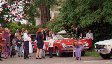
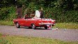
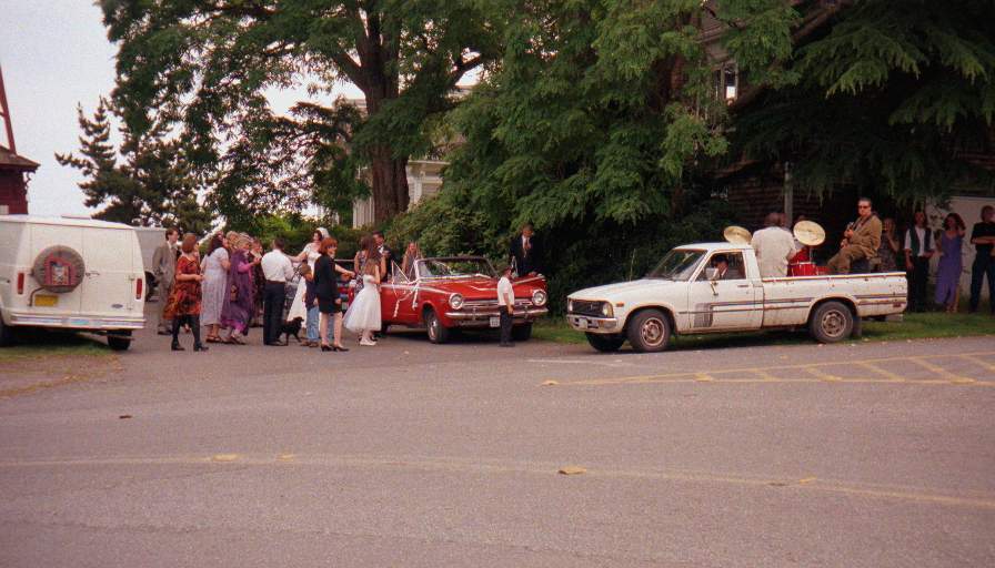
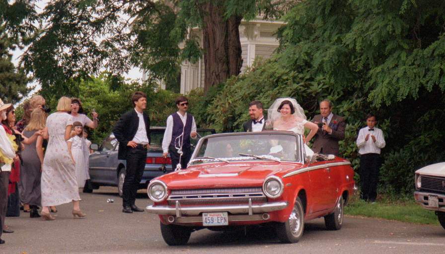
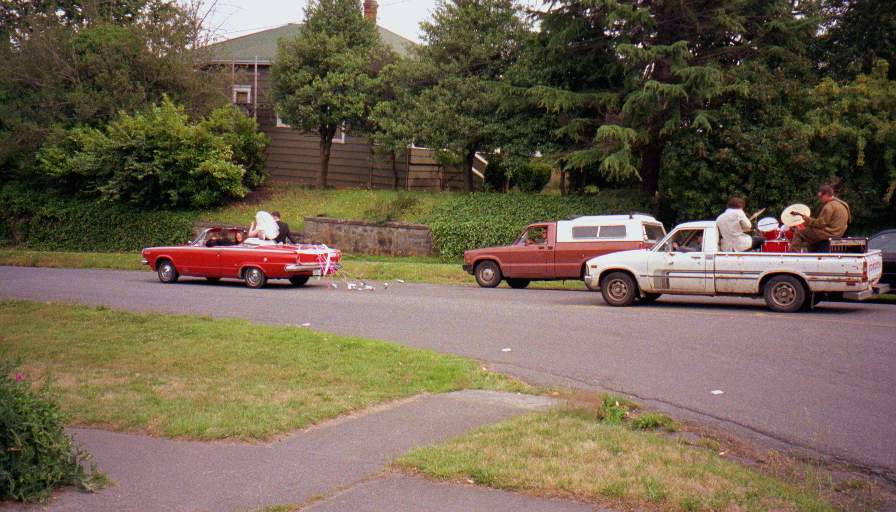
Deirdre and Charlie leaving their wedding with band in tow
Port Townsend, WA
Deirdre and Charlie leaving their wedding with band in tow
Port Townsend, WA
Time of day: 1550PDT
Minolta Vectis 40 , Roll ID:
189-597
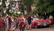
Deirdre and Charlie leaving their wedding with band in tow
Port Townsend, WA
Deirdre and Charlie leaving their wedding with band in tow
Port Townsend, WA
Time of day: 1550PDT
Minolta Vectis 40 , Roll ID:
189-597
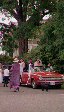
Deirdre and Charlie leaving their wedding with band in tow
Port Townsend, WA
Deirdre and Charlie leaving their wedding with band in tow
Port Townsend, WA
Time of day: 1550PDT
Minolta Vectis 40 , Roll ID:
189-597
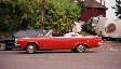
Deirdre and Charlie leaving their wedding with band in tow
Port Townsend, WA
Deirdre and Charlie leaving their wedding with band in tow
Port Townsend, WA
Time of day: 1550PDT
Minolta Vectis 40 , Roll ID:
189-597
Deirdre and Charlie leaving their wedding with band in tow
Port Townsend, WA
Deirdre and Charlie leaving their wedding with band in tow
Port Townsend, WA
Deirdre and Charlie leaving their wedding with band in tow
Port Townsend, WA
Time of day: 1550PDT
Minolta Vectis 40 , Roll ID:
189-597
Deirdre and Charlie leaving their wedding with band in tow
Port Townsend, WA
Deirdre and Charlie leaving their wedding with band in tow
Port Townsend, WA
Deirdre and Charlie leaving their wedding with band in tow
Port Townsend, WA
Time of day: 1550PDT
Minolta Vectis 40 , Roll ID:
189-597
Deirdre and Charlie leaving their wedding with band in tow
Port Townsend, WA
All photo images © 1997-2000 Anthony Jones
- Images may not be used without prior written approval.
Click on map to Zoom in...
Trip Stats to Date:
Day:
93
Miles Driven:
19074
Linear Dist:
61321
Countries Visited:
2
Regions Visited:
38
More stats...
Hotels:
30
Friends / Family:
29
Camping:
23
Hostels:
7
Transit:
4
Beers:
270
Hide...
Journal Entry:
Went over to the Olympic peninsula to Port Townsend for my cousin Deirdre's wedding. Caught the last ferry back to Seattle.
Paging: [
⇚ Jul 11
] | [
Jul 13 ⇛
]
On
Hiatus
.com
>
Journal 1
>
Day Index
>
Journal Entry:
July 12, 1997


