. OnHiatus.com > Journal 1 > Day Index > Journal Entry: September 24, 1998

Thursday, September 24, 1998
Djifere, Senegal
Senegal's Flag

Map
Djifere, Senegal:
Latitude: 13° 56' 7" North
Longitude: 16° 45' 39" West
Altitude: 5 feet
From Seattle: 6755 miles
Lodging: Hotel - Campement Chez Afrique

Map
Today's Travel:
Country: Senegal
Region: Saloum Delta
Weather: Mostly Sunny

Available Photos:

Inside my hut Djifere, Senegal

The fishing "port" Djifere, Senegal

Beach and mangroves Djifere, Senegal

All photo images © 1997-2000 Anthony Jones - Images may not be used without prior written approval.

Click on map to Zoom in...
Map
Trip Stats to Date:
Day: 532
Linear Dist: 126178
Countries Visited: 36
Regions Visited: 152
More stats...
Hotels: 139
Friends / Family: 154
Camping: 42
Hostels: 141
Transit: 49
Other Lodging: 6
Beers: 1948
Hide...

Journal Entry:
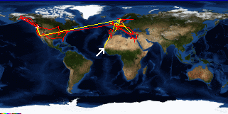
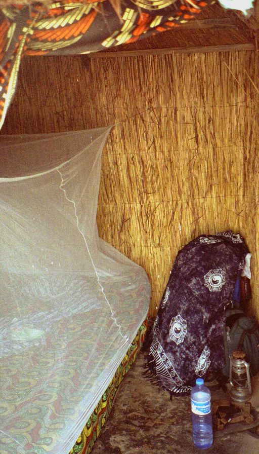
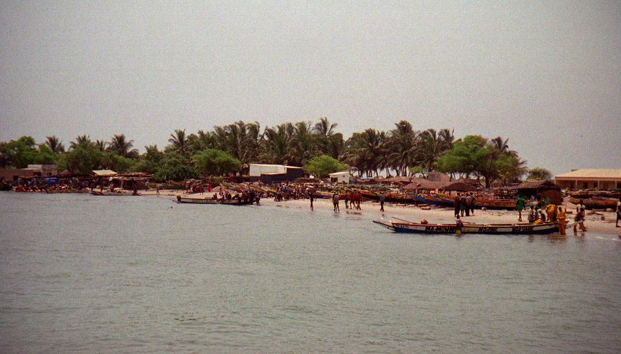
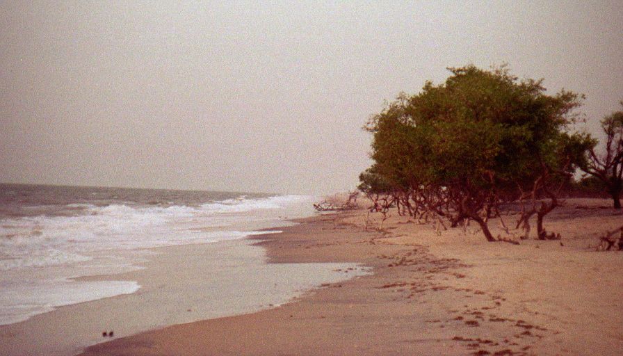
Not an exciting day but still good. Walked through the village for fruit and bread (breakfast, lunch, and diner). Explored the beaches where the fishing boats come in (an incredible variety of fish, eels, rays, sharks, giant shell fish and crabs) must be several hundred species in their daily catch. Rest of the day was spent swimming in the very warm water and laying in the sand. Went to bed early (no disco!) due to exhaustion but couldn't sleep, spent most of the night reading.


Related Sites:
US State Department Consular Information Sheets: Senegal
CIA World Fact Book: Senegal

Paging: [⇚ Sep 23] | [Sep 25 ⇛] OnHiatus.com > Journal 1 > Day Index > Journal Entry: September 24, 1998