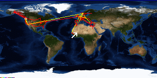
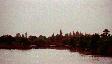
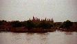
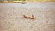
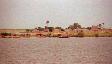
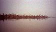
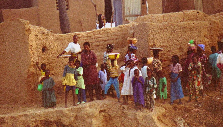
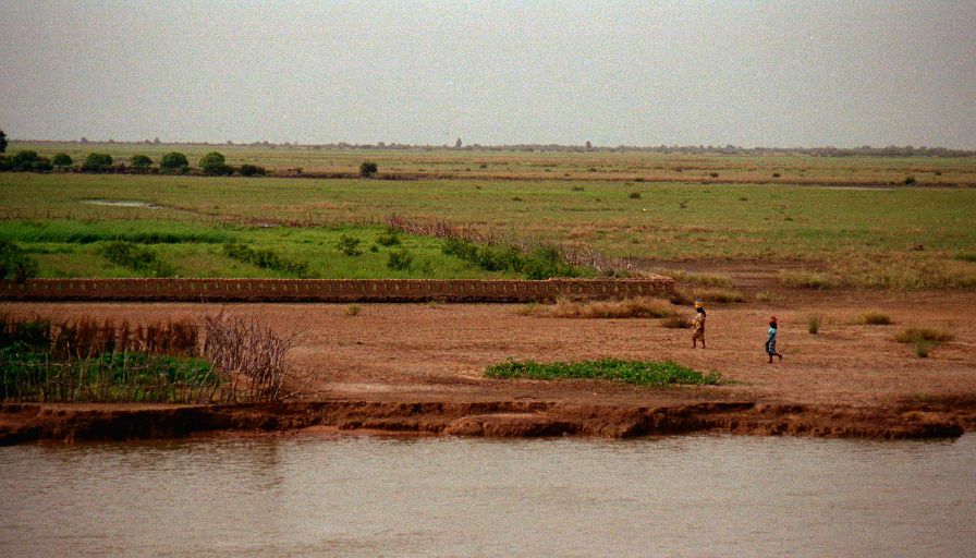
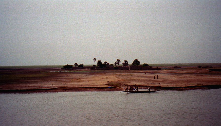
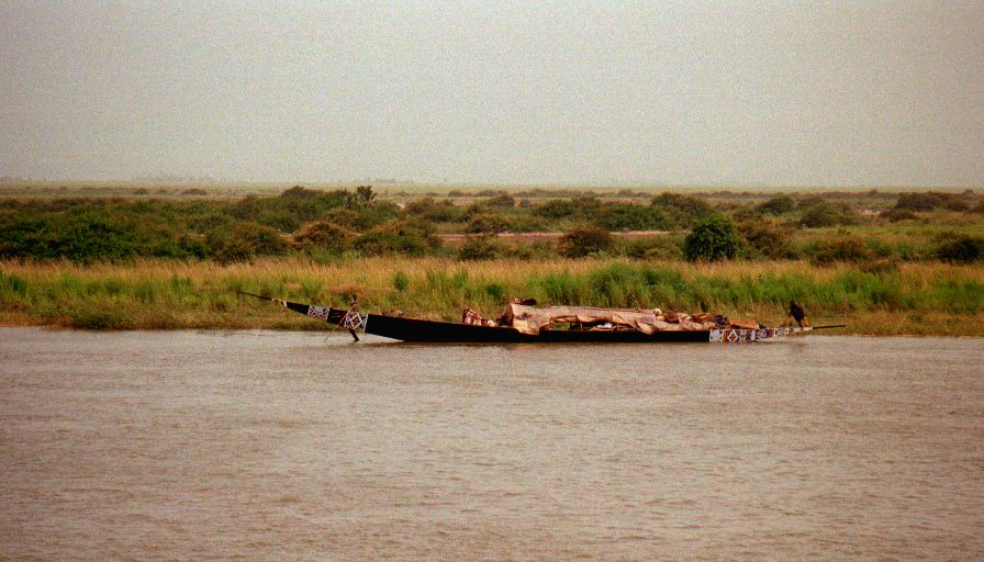
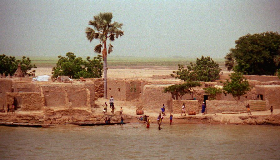
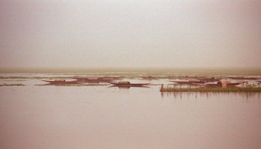
Woke up early as we were departing from some small village in the middle of nowhere (very colorful costumes). Breakfast was served at seven and was quit disappointing, stale bread and very weak Nescafé. After breakfast climbed up on top of the boat and watched the world go by until lunch time (nearly five hours). The view and infinite variety of birds quickly improved my attitude. The world here consists of small mud fishing villages on the waters edge (they must flood as some of them are literally only inches above the water level). In-between and around the towns are brightly painted pirogues (canoes) with men casting round nets as they fish. Basically I sat there and marveled at the fact that I was cruising down the Niger River - in reality. Beats any National Geographic special!
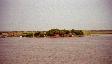
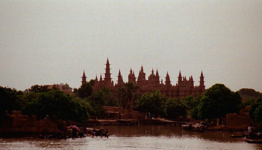
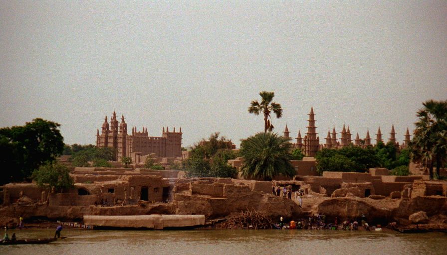
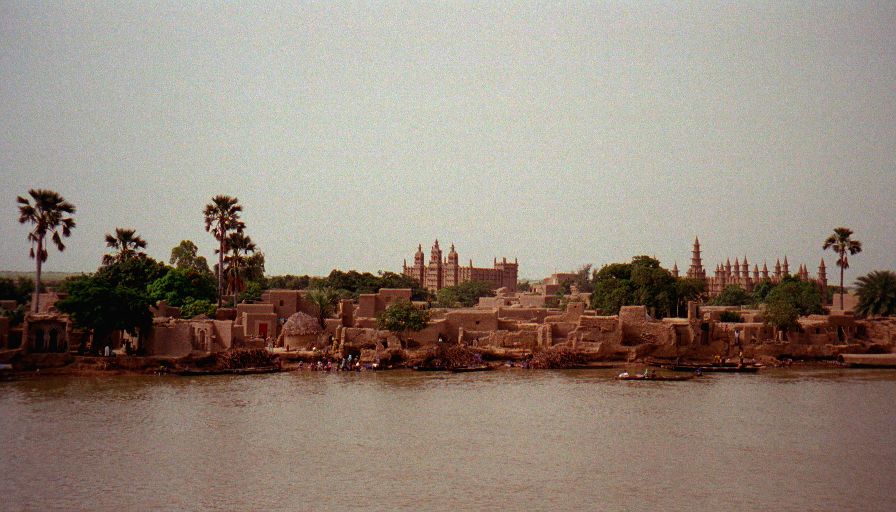
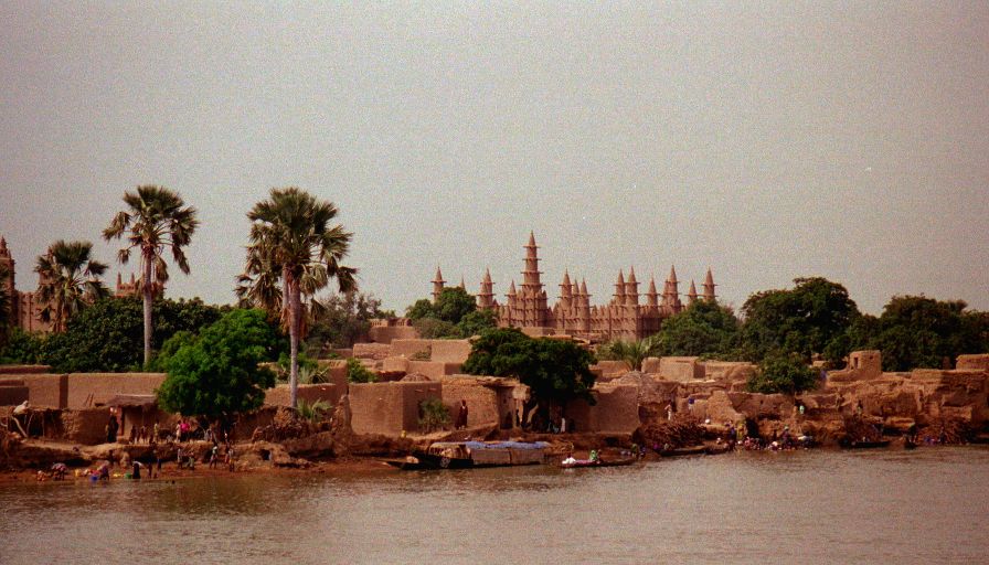
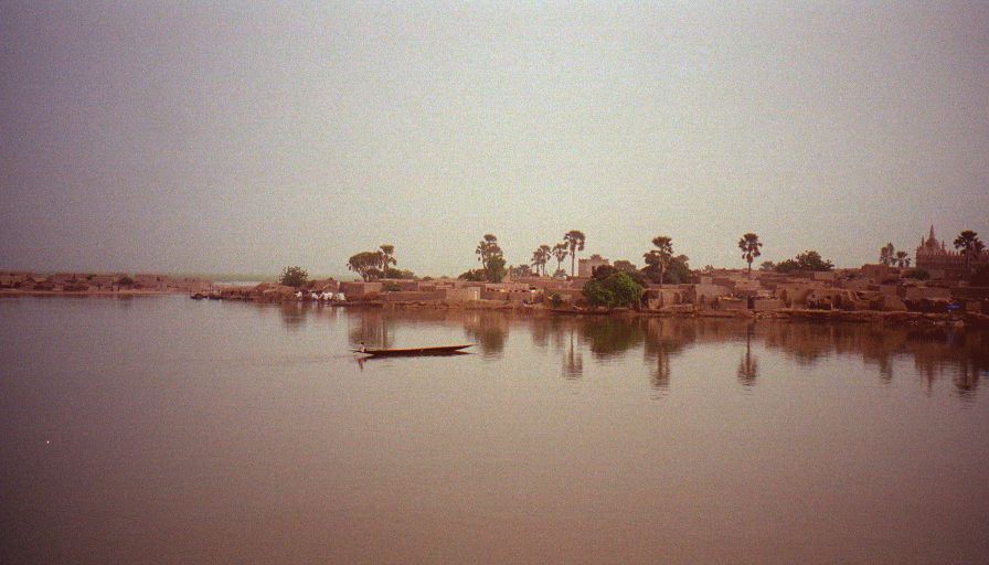
Sometime before ten we passed a medium size mud town with a huge, very elaborate, all mud mosque. It was incredible. It's the first mosque I've seen since leaving the Middle East that inspired me. Very simple lines, very graceful, very earthy (no pun), reminiscent of the adobe constructions in Mesa Verde (and the rest of the Southwest), but with graceful curves and geometric patterns. Over the course of the afternoon we passed many similar mosques and I decided that they're typical Sahel mosques. None of the other mosques seemed quite as grand as that first one. Sometime around 2:30 we stopped at Gomi, a picturesque town with an unusually large and crowded pirogue harbor. The boat never docked at Gomi, so we didn't get a chance to explore, but all the pirogues loading and unloading cargo and people, and selling everything with the mud buildings (including a nice mosque) and port as backdrop made for some nice afternoon drama.
Got into Mopti about 3:30, the hustle around the boat (cargo and passenger coming on versus cargo and passengers getting off plus a few hundred guides and vendors) was a little overwhelming so Andrea and I set out to explore. First goal was to see the Grand Mosque. It to is in the Sahel style, but somehow didn't impress me so much. It's apparently a copy of the mosque in Djenné which I'm hoping to get to later. Andrea and I spent sometime avoiding the guides and looking for a restaurant to get some more real food (the boats menu has been less than satisfying). Found a small restaurant mentioned in all three guide books and had great rice with Tigadigana (peanut sauce) and a soda for a little over US$1 for both of us. Then we went and had real coffee (well at least it wasn't Nescafé). By the time we got to exploring the huge markets almost everything had already closed down - not a huge tragedy since we're planning on coming back through Mopti. The markets are huge and despite the minimal activity so late in the day there was tons (literally) of fruit for us to buy to supplement the ship's fare. Andrea got stuck buying a necklace when she started bargaining with a shopkeeper. He started at 50,000 CFA, Andrea started at 1,000 and ended up having to buy it for 2,000 (< US$4). It's very cool with silver and wooden beads so I think she got a good deal, but it's an especially useful lesson on how much prices are inflated! The boat was scheduled to set sail at seven so we were back on board by a quarter to. Diner came and went, we went back up on top and watched the men doing their laundry and the town go to sleep, read and talked to some other passengers before the boat finally cast off around midnight.


