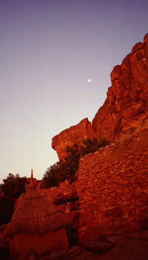
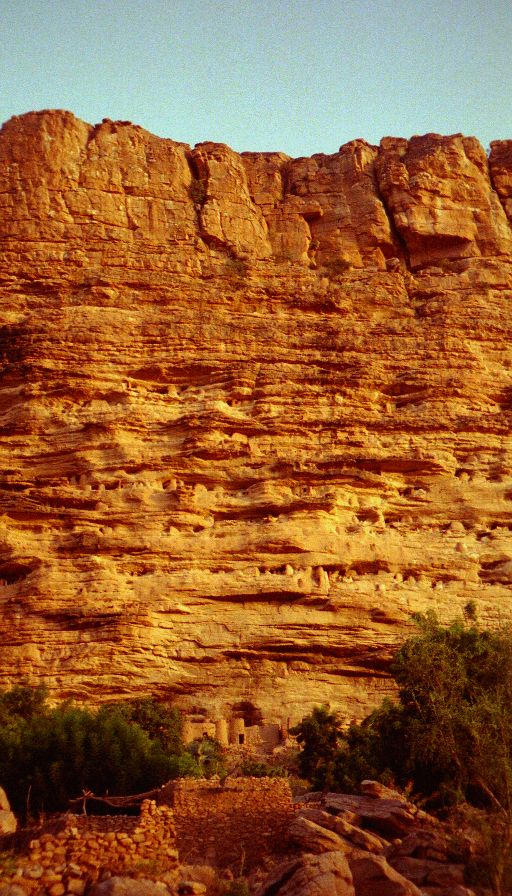
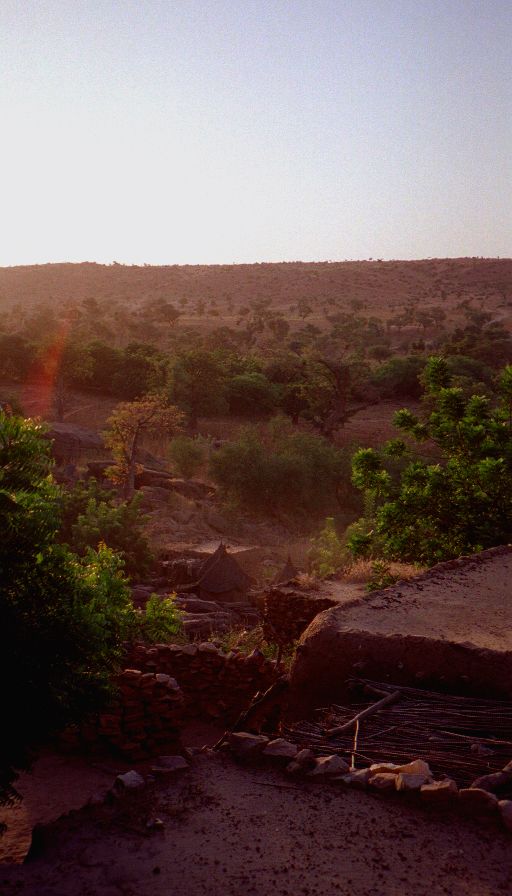
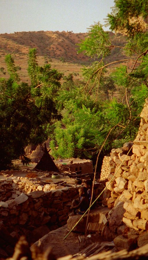
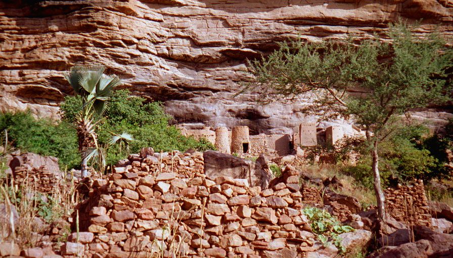
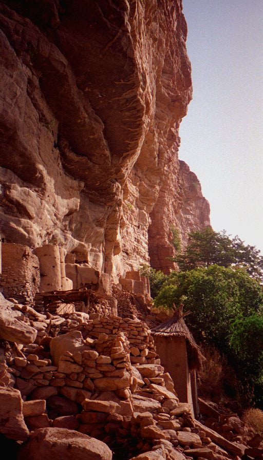
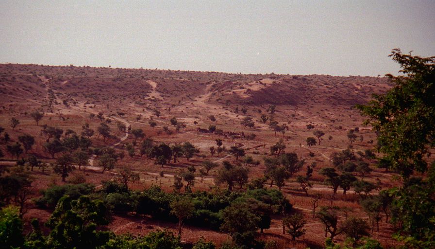
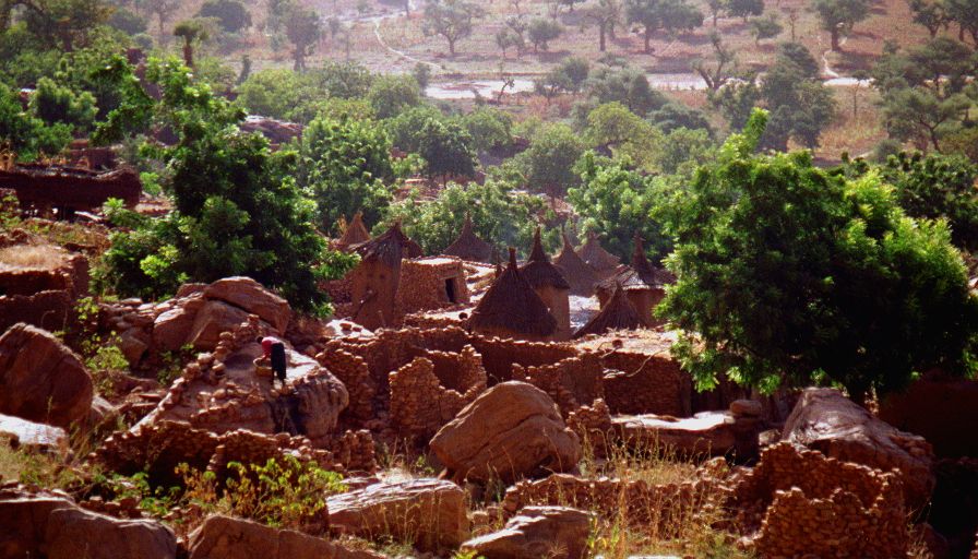
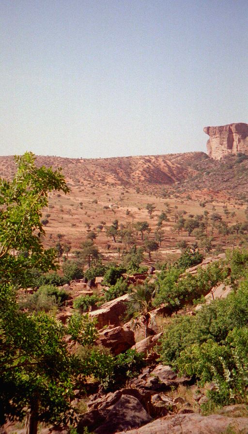
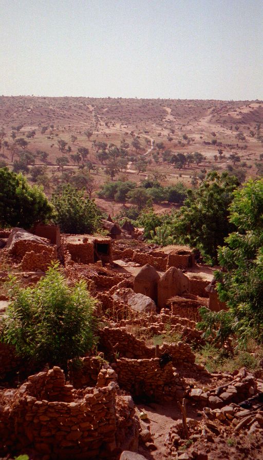
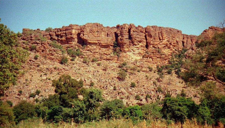
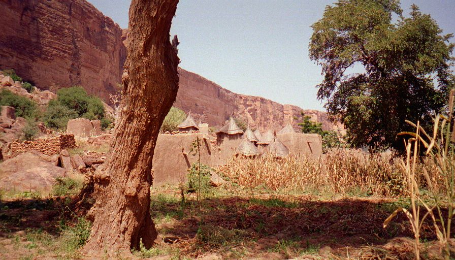
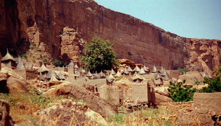
Woke up at sunrise, had instant coffee and stale bread for breakfast (Andrea had Tô and snot sauce). I went off by myself for a 40 min hike up to the cliff dwellings, some are still in use (at or near the base). The view down at the village as it was waking up and getting going was great and the view over the lowland phenomenal. Started hiking about nine (our guide was a little anxious to get going) the hike was along a flat sandy path, and though it was very hot there was a pleasant breeze and we had plenty of water. We passed through a number of small villages before arriving in the slightly larger village of Tireli a little before 11. Our guide indicated that we'd spend the night there. I was pretty unhappy with this since we'd been told the hiking was very difficult and we'd be hiking long days - and this was our longest day (8 km) and we'd only walked for two hours!?! We had some words with our guide and after some discussion (and threats to head out on our own) he agreed to let us continue.
We hiked for another hour plus to Ireli (another 5km) and stopped to hang out, have lunch and wait for the day to cool off a little (our guide was nearing exhaustion). At about 3:30 we headed off in the company of an Australian couple (on their honeymoon - 8 mos. backpacking around West Africa!) for the last 35 minutes (3 more km) to Banani. We were supposed to get to Banani in time for the weekly market, but it was over by the time we got there.
We had some discussion because we weren't supposed to be here until tomorrow night and now our guide wanted to stay there another night and we wanted to either head out further into Dogon country or finish the trek a day early (we need to climb the escarpment from Banani). After much negotiation and discussion we decided to leave a day early and our guide finally agreed (he wanted us to pay for the extra day regardless but finally accepted that he was going to get paid for only three). The food situation had been unsatisfactory, his information wrong (that this was the most difficult trek possible in four days - it could have been done as a moderately long day hike), and his English pathetic so we were unwilling to give him anything extra.


