. OnHiatus.com > Journal 1 > Day Index > Journal Entry: March 23, 1999

Tuesday, March 23, 1999
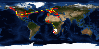
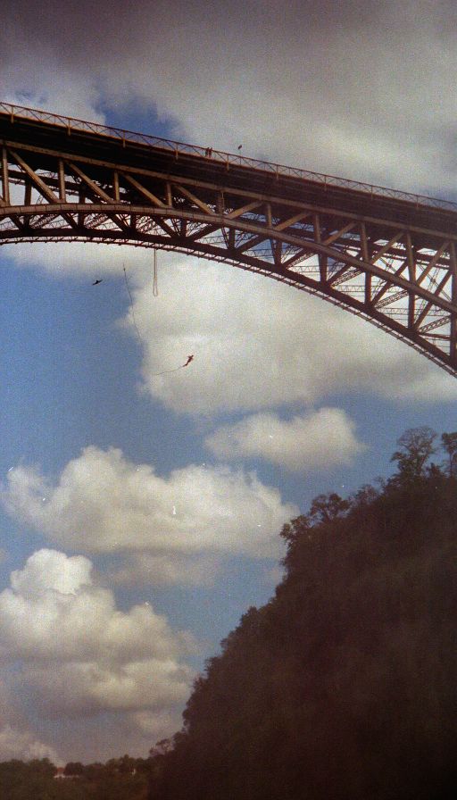
Victoria Falls to Sinamatella, Hwange National Park, Zimbabwe
Zimbabwe's FlagZambia's Flag

Map
Sinamatella, Hwange National Park, Zimbabwe:
Latitude: 18° 35' 17" South
Longitude: 26° 18' 43" East
Altitude: 3315 feet
From Seattle: 11148 miles
Lodging: Hotel - Sinamatella Lodge (Cottage)

Map
Today's Travel:
Countries: Zimbabwe, Zambia, Zimbabwe
Regions: Matabeleland North, Southern, Matabeleland North
Route: Road: B8
Start: Victoria Falls
Stop 1. Musi-Oa-Tunya National Park, Zambia
Stop 2. Victoria Falls
End:Sinamatella, Hwange National Park, Zimbabwe
Linear:180 miles
Weather: Mostly Sun / Partial Sun

Available Photos:

View towards falls Zambezi Bridge, between Zimbabwe and Zambia, Zambia

View towards falls Zambezi Bridge, between Zimbabwe and Zambia, Zambia

Zambezi Bridge Musi-Oa-Tunya National Park, Zambia

Zambezi Bridge Musi-Oa-Tunya National Park, Zambia

Zambezi Bridge Musi-Oa-Tunya National Park, Zambia

Victoria Falls Musi-Oa-Tunya National Park, Zambia

Victoria Falls Knife Edge, Musi-Oa-Tunya National Park, Zambia

Victoria Falls Knife Edge, Musi-Oa-Tunya National Park, Zambia

All photo images © 1997-2000 Anthony Jones - Images may not be used without prior written approval.

Click on map to Zoom in...
Map
Trip Stats to Date:
Day: 712
Linear Dist: 139544
Countries Visited: 52
Regions Visited: 198
More stats...
Hotels: 200
Friends / Family: 160
Camping: 100
Hostels: 190
Transit: 55
Other Lodging: 6
Beers: 2732
Hide...

Journal Entry:
[Entry lost]


Related Sites:
US State Department Consular Information Sheets: Zimbabwe
CIA World Fact Book: Zimbabwe

Paging: [⇚ Mar 22] | [Mar 24 ⇛] OnHiatus.com > Journal 1 > Day Index > Journal Entry: March 23, 1999