.
On
Hiatus
.com
>
Journal 1
>
Day Index
>
Journal Entry:
April 11, 1999
Sunday, April 11, 1999
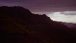
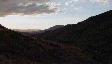
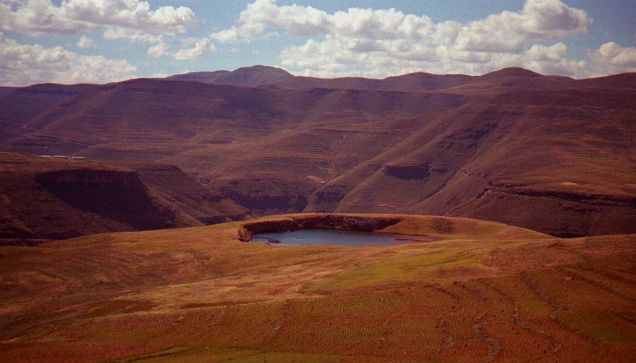
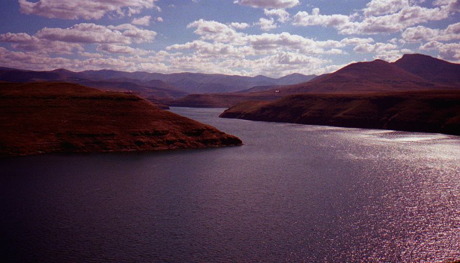
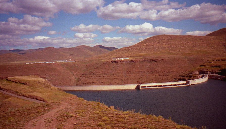
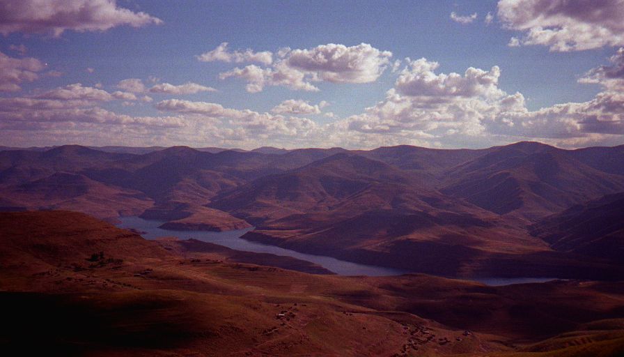
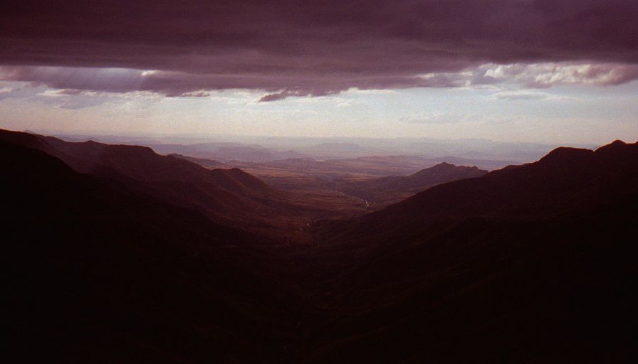
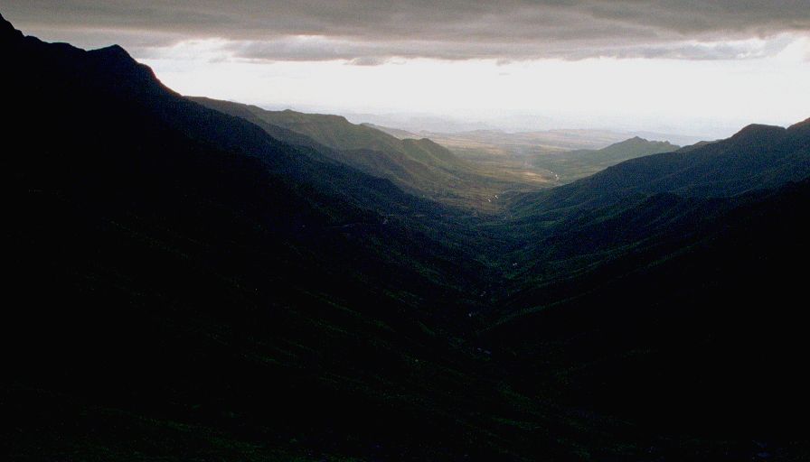
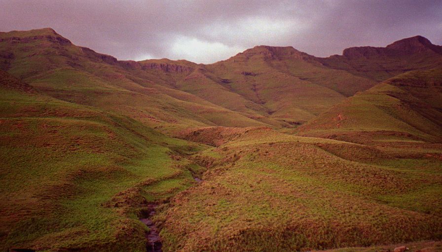
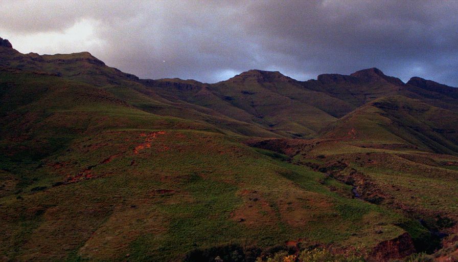
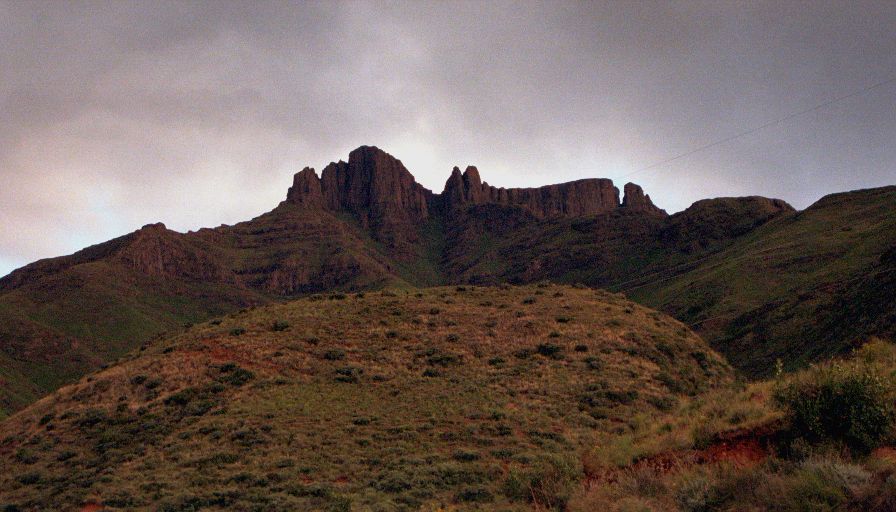
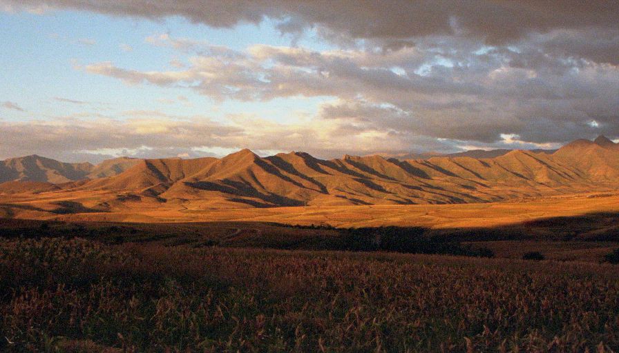
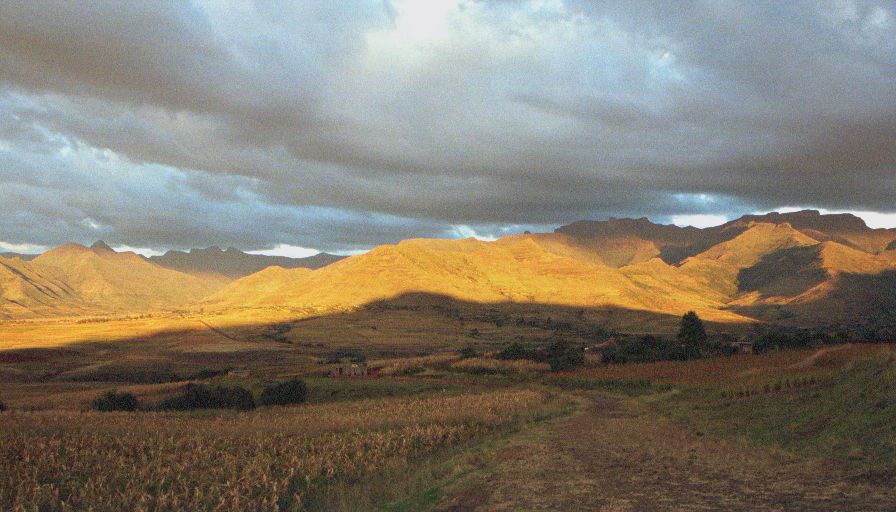
Marakabei to Hlotse (Leribe), Lesotho
Hlotse (Leribe), Lesotho:
Latitude:
28° 52' 16" South
Longitude:
28° 2' 48" East
Altitude:
5525 feet
From Seattle:
11809 miles
Lodging:
Hotel - Lesotho Hotel
Today's Travel:
Country:
Lesotho
Regions:
Thaba-Tseka, Leribe
Route:
Roads: A3, B29, B25
Path:
Marakabei
-
Hlotse (Leribe), Lesotho
Linear:
54 miles
Weather:
Mostly Sunny / Partial Sun
Available Photos:
Mountain lake
South of Katse, Lesotho
Katse lake
Katse, Lesotho
Katse dam
Katse, Lesotho
Katse lake and valley
North of Katse, Lesotho
Green valley
B25, Khanna ka Likre, Lesotho
Time of day: 1650 (+2)
Minolta Vectis 40 , Roll ID:
492-581
Green valley
B25, Khanna ka Likre, Lesotho
Green valley
B25, Khanna ka Likre, Lesotho
Valley Wall
B25, Khanna ka Likre, Lesotho
Time of day: 165- (+2)
Minolta Vectis 40 , Roll ID:
492-581
Valley Wall
B25, Khanna ka Likre, Lesotho
Green valley
B25, Khanna ka Likre, Lesotho
Green valley
B25, Khanna ka Likre, Lesotho
Green valley walls
B25, Khanna ka Likre, Lesotho
Green valley walls
B25, Khanna ka Likre, Lesotho
Green valley walls
B25, Khanna ka Likre, Lesotho
Time of day: 1712 (+2)
Canon EOS IX-Lite , Roll ID:
551-591
Green valley walls
B25, Khanna ka Likre, Lesotho
Mountain range
B25, Khanna ka Likre, Lesotho
Mountain range
B25, Khanna ka Likre, Lesotho
All photo images © 1997-2000 Anthony Jones
- Images may not be used without prior written approval.
Click on map to Zoom in...
Trip Stats to Date:
Day:
731
Linear Dist:
141400
Countries Visited:
53
Regions Visited:
206
More stats...
Hotels:
204
Friends / Family:
160
Camping:
107
Hostels:
198
Transit:
55
Other Lodging:
6
Beers:
2811
Hide...
Journal Entry:
[Entry lost]
Related Sites:
US State Department Consular Information Sheets: Lesotho
CIA World Fact Book: Lesotho
Paging: [
⇚ Apr 10
] | [
Apr 12 ⇛
]
On
Hiatus
.com
>
Journal 1
>
Day Index
>
Journal Entry:
April 11, 1999