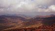
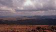
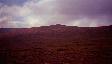
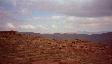
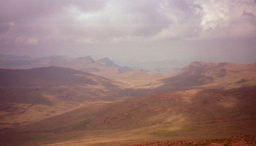
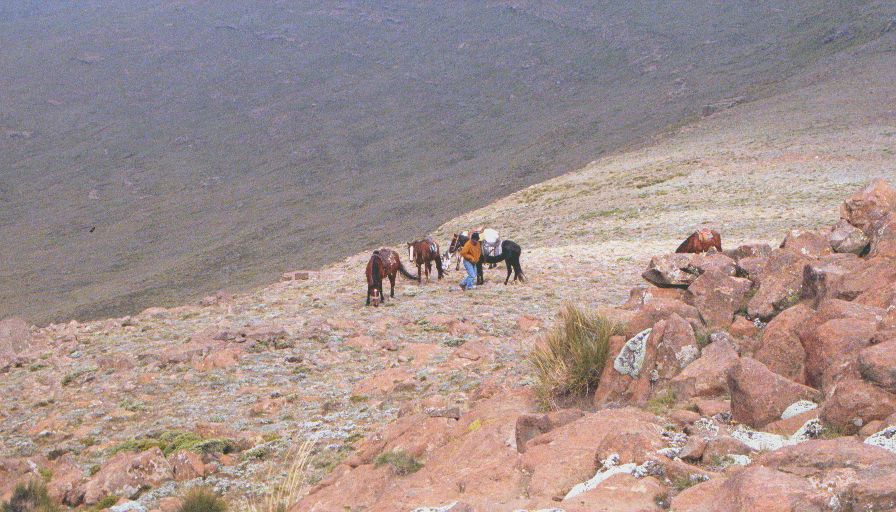
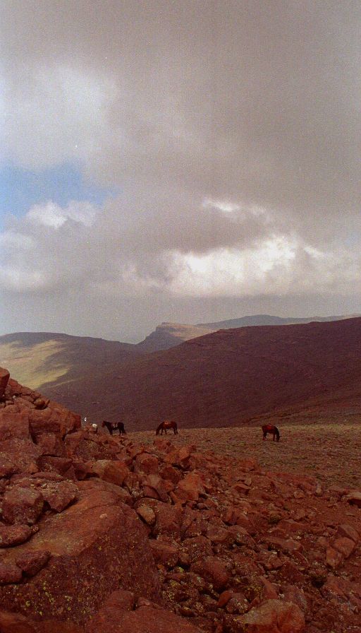
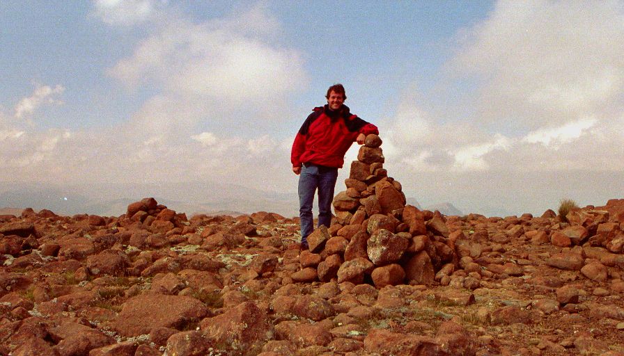
Got up at seven even though we'd been warned that the horses arriving at eight was "Africa Time" so they probably wouldn't be there until nine - they arrived at 7:45! The horses are about the healthiest looking rental horses I've seen (no shoes though). The guide doesn't speak to much English, but he tells us the peak (our destination) is about three hours away. The first couple hours of riding were uneventful. The horses basically walk - occasionally they can be encouraged to trot, but the terrain is rough enough so that walking is good. After a couple hours those weird unused muscles start to complain. Also after two hours the peak is still "three hours away" according to our guide. About five hours (and two ridges / three valleys) later we're about ten meters below the summit of Thabana-Ntlenyana - the highest peak in Southern Africa (11,333 feet).
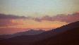
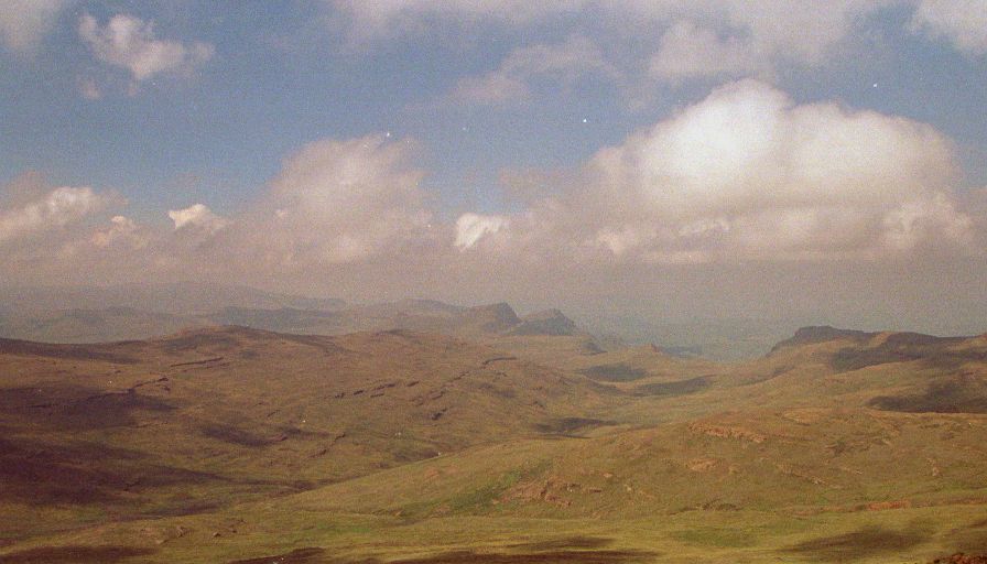
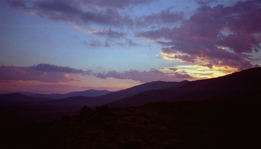
Spent a chilly hour at the summit having lunch. Then headed down. We walked the horses for the first hour (it was very steep and rocky) and strangely enough made much better time than we did on the ride up. The rest of the ride was unremarkable except for a fantastic sunset from the top of the last ridge before Sani Pass. Unfortunately the sunset meant we had to do the last hour in the dark - pitch black by the end, but the horses seemed to handle. Back at the lodge just under eleven hours after leaving this morning - Over eight of them on the horse - way to much.
Getting off the horses was both wonderful and painful. Walking was difficult, sitting impossible. Pretty much everything is sore. We took showers, warmed up in the lounge then had a four course dinner prepared by the lodge - vegetable soup, roast chicken / potatoes with gravy, cauliflower cheese, pumpkin, and fruit / Jello with custard! Everyone was in bed by nine.

