-
Monday, February 7, 2000
-
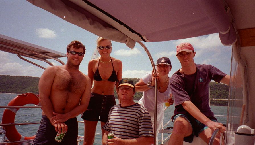
Refuge Bay, Cambert Peninsula, Ku-ring-gai Chase National Park to Sydney, NSW, Australia
|
| Sydney, NSW, Australia: | |||||||||||
|
|||||||||||
| Today's Travel: | |||||||||||
|
|||||||||||
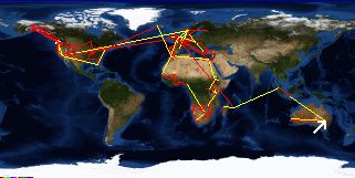
| Trip Stats to Date: | |||||||||||||||||||||||||||
|
|||||||||||||||||||||||||||


