Woke up to find that we really are on an island paradise. Beautiful white sand beaches and very few other people. Even if we can't dive it's still a nice place to hang out. We had a late breakfast and just lounged around. We'd planned on doing a short hike up the "mountain", a small hill behind our hut, so we could survey the small island before heading out to walk around it. The hill is a lot higher than it looks, and the hike ended up taking us two hours. The view was worth it though, and looking around it was amazing to really realize just how small Chizumulu is.
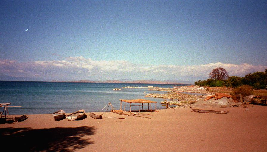
After getting down from the hill we stopped for a well needed cold drink. We set off to circumnavigate the island. The walk was beautiful. One of the dogs from the retreat accompanied us and everywhere we went people were very friendly and polite. Hardly any of the "Give me money!" demands that are so common elsewhere in Africa. The landscape is mostly countless weird and wonderful baobab trees, occasional cassava patches, and a few small groups of huts. The huts all seem fairly prosperous - nice mud brick with covered patios. Also passed a couple small fishing fleets (canoes and dhows), and a football (soccer) field. There was a game with Nkhata Bay just starting and it looked like nearly the entire population of the island was there or on its way.
Walking around the island took us about three hours and was hot work. Back at the retreat we had a swim and enjoyed the last of the evening sun. Walked out to the nearby point to watch an incredible sunset. The sun set behind another point silhouetting some giant old baobabs.
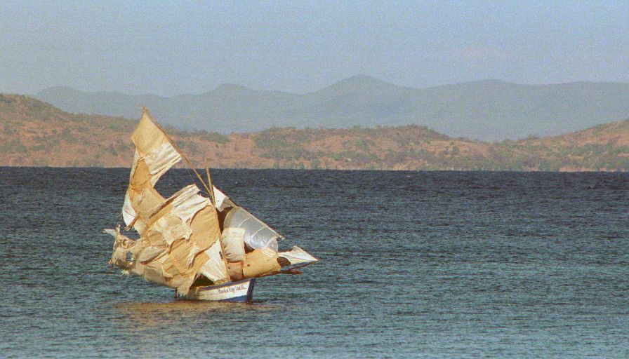
We asked one of the local managers about catching the daily dhow (small sailboat) to Likoma Island. It turns out that the boat leaves everyday between ten and one - depending on the wind. He promised to ask around in the morning and let us know when it was likely to go.


