-
Tuesday, July 30, 2002
-
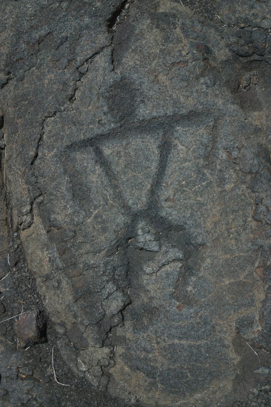
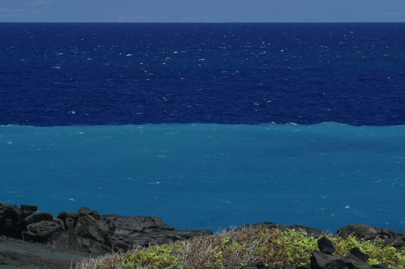
Kulanaokuaiki, Volcanoes National Park, Hawai'i, Hawaii

|
| Kulanaokuaiki, Volcanoes National Park, Hawai'i, Hawaii: | |||||||||||
|
|||||||||||
| Today's Travel: | |||||||
|
|||||||

| Trip Stats to Date: | |||||||||||||||||||||||||
|
|||||||||||||||||||||||||

