. OnHiatus.com > Journal 1 > Day Index > Journal Entry: May 5, 2001

Saturday, May 5, 2001
Katmandu to Khudi, Nepal
Nepal's Flag

Map
Khudi, Nepal:
Latitude: 28° 17' 3" North
Longitude: 84° 21' 40" East
Altitude: 2665 feet
From Seattle: 8461 miles
Lodging: Camp - Bank of the Marshyangdi River

Map
Today's Travel:
Country: Nepal
Region: Marshyangdi River
Route: Bus: Katmandu - Besisahar; Walk: Besisahar - Khudi
Start: Katmandu
Stop 1. Besisahar
End:Khudi, Nepal
Linear:72 miles
Weather: Sunny / Overcast / Mostly Sunny

Available Photos:

Group crossing suspension bridge Near Khudi, Marshyangdi River, Nepal

Annapurnas Near Khudi, Marshyangdi River, Nepal

All photo images © 1997-2000 Anthony Jones - Images may not be used without prior written approval.

Click on map to Zoom in...
Map
Trip Stats to Date:
Day: 1486
Linear Dist: 277163
Countries Visited: 76
Regions Visited: 289
More stats...
Hotels: 612
Friends / Family: 338
Camping: 131
Hostels: 262
Transit: 99
Other Lodging: 13
Beers: 4618
Hide...

Journal Entry:
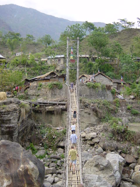
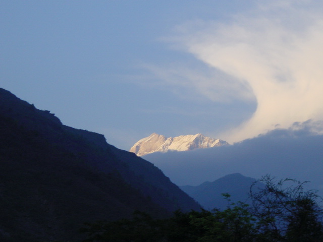
Got up early to finish packing and put my luggage in storage. Met the rafting group at a restaurant for breakfast, then we all piled on a bus for the six hour ride to Besisahar. When we left Katmandu it was a beautiful morning, but as we were driving it started to cloud up and look very threatening. Once the bus got there we continued a couple hours further on foot to our campsite near Khudi on the Marshyangdi River. After we finished setting up camp I went for a very cold swim then joined the rest of the group for hot rum punch and beers. The skies cleared and we got a fantastic view of the Annapurna and Manaslu mountains. After diner we continued celebrating one of the girls birthdays (and Cinquo de Mayo) with the beers and just marveled at the stars and nearly full moon, then went to bed fairly early.


Related Sites:
US State Department Consular Information Sheets: Nepal
CIA - The World Factbook: Nepal

Paging: [⇚ May 4] | [May 6 ⇛] OnHiatus.com > Journal 1 > Day Index > Journal Entry: May 5, 2001