Sunday August 4, 2002
Holualoa, Kona, Hawai'i, HI to Hilo, Hawai'i, HI
US's Flag HI's Flag
Current Time
GMT (+0):10:36
Seattle (-8):03:36
Hilo (+10):20:36

Hilo, Hawai'i, HI :
Latitude:19° 41' 45" North
Longitude:155° 8' 16" West
From Seattle:2884 miles
Altitude:1606 feet
Lodging:Friend / Family - Maria
Map

Today's Travel:
Country:US
Region:HI
Linear:52 miles
Weather:Mostly Sunny / Rain
Map

Available Photos:
All photo images © 1997-2000 Anthony Jones
Images may not be used without prior written approval.
Photo
Subject:Captain Cook monument
Location:Kealakekua Bay, Hawai'i, HI
Larger image available
Photo
Subject:Captain Cook monument
Location:Kealakekua Bay, Hawai'i, HI
Larger image available
Photo
Subject:Tang
Location:Snorkeling: Kealakekua Bay, Hawai'i, HI
Larger image available
Photo
Subject:Parrot Fish
Location:Snorkeling: Kealakekua Bay, Hawai'i, HI
Larger image available
Photo
Subject:? Fish
Location:Snorkeling: Kealakekua Bay, Hawai'i, HI
Larger image available
Photo
Subject:Stacy
Location:Snorkeling: Kealakekua Bay, Hawai'i, HI
Larger image available
Photo
Subject:Trigger
Location:Snorkeling: Kealakekua Bay, Hawai'i, HI
Larger image available
Photo
Subject:? Fish
Location:Snorkeling: Kealakekua Bay, Hawai'i, HI
Larger image available
Photo
Subject:Box fish
Location:Snorkeling: Kealakekua Bay, Hawai'i, HI
Larger image available

Trip to Date:
Day:53
Linear Dist:14139
Countries Visited:3
Regions Visited:8
Nights in Hotels:19
Nights with Friends / Family:25
Nights Camping:6
Nights in Transit:1
Nights in a Hospital:2
Beers:93
Click on map to Zoom in...
Map

Entry:
For some reason the alarm did not go off - it was set correctly, it just didn't ring. So we woke up a half hour early. Grabbed coffee, picked up the kayak, and were launching it on Kealakekua Bay as the sun came up. The paddle across the bay was pleasant, but nothing too exciting - no dolphins, which is what we had hoped for. While we were paddling one other kayak passed us, but other that him we had the bay to ourselves. We beached near the Captain Cook monument and went exploring. Saw the monument, the Queen's Bath, and then ran into the cliff. Going back the other way past our kayak we found a stretch of sand just outside the mouth of the bay. A couple hours later we went back to the kayak and found the area packed - more than twenty other kayaks, and tons of people. We snorkeled for an hour - it was very good, but there were just too many people. Paddled back to the launching spot, loaded the kayak, dropped it off, then had lunch. On the drive back to Hilo we took the Saddle Road - the highway that crosses the island between the two big volcanoes - Mauna Kea and Mauna Loa. The road was surreal at times - crossing plains of giant chunks of lava, and ocean like expanses of flat smooth lava. Through in a steady rain and some dense fog for atmosphere - very nice.

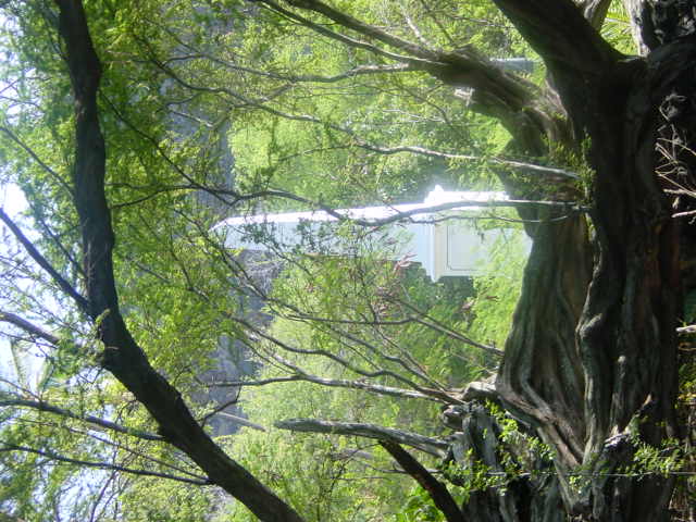
When we were almost back to Hilo we saw a sign for Kaumana Cave park and decided to take a look. The caves are just a short section of lava tubes, but it was a pretty neat fifteen minutes exploring their limits. Back at the house we took Maria and Abegardo out to dinner at a South American restaurant.


[Previous Day] | [Index] | [Next Day]

Back To: Welcome Page